
From Machynlleth to Barmouth via Abergynolwyn and Cregennan (June 1st 2014). About 21 miles, including three ascents of about 1250 metres in total. The walk took us nearly 10 hours.
A friend whose current enthusiasm is long walks had the idea of hiking from Barmouth to Machynlleth via the source of the Dovey (near Dinas Mawddwy). This looked a bit much, and I suggested instead that we might try for the summit of Cader, a popular excursion from Barmouth when the grey seaside town was a fashionable Victorian watering place. The idea was to take the train up the coast to Barmouth and walk back to our house, which is about a mile from Machynlleth on the Aberdovey road.
We decided to reverse the route when we discovered that the earliest train – this being Sunday – would not get us to Barmouth until 11; and set off from the house at 8.30, aiming for the ten to seven train back from Barmouth. I had not walked over the hills to Abergynolwyn before and guessed this section of the walk would take us about two and a half hours. In fact it took three and a half, and we arrived at just the right time for a pint at the Railway Inn.
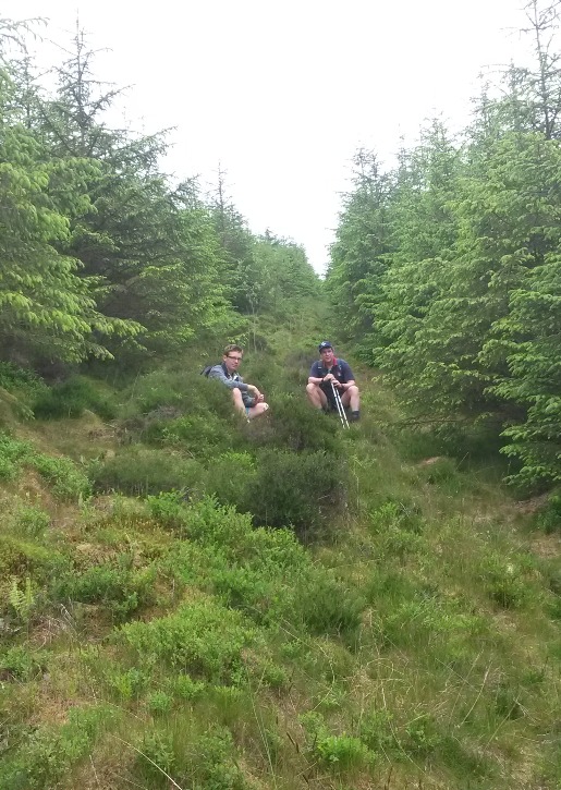
Hard going above Maesgwyngoch (where we found ourselves by mistake). Lots of Welsh hillsides look as though they offer easy walking, until you set foot on them. This track was a mixture of quagmire and scrub tangle
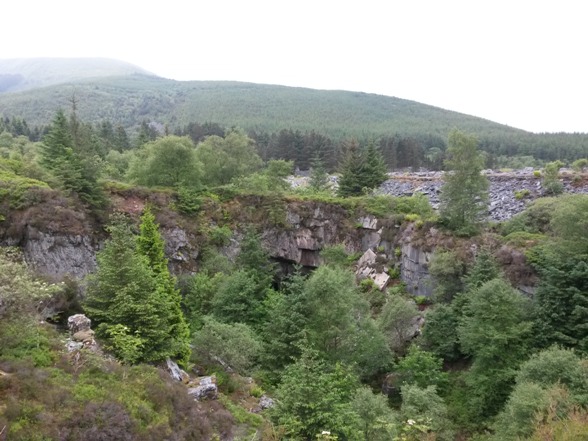
Bryn Eglwys disused quarry above Abergynolwyn; just right for a Hinterland crime scene, with piles of slate slabs waiting to be inscribed with a grisly in memoriam message. Once we crossed the ridge near Tarren Hendre, and started going down towards Abergynolwyn, we had no difficulty finding the route.
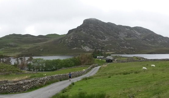
 The woods above Nant Gwernol, the end station of the Tal y Llyn narrow gauge steam railway, are popular walking territory and well equipped with footpath furniture and information panels. We crossed two walkers – the only people we saw all day (not counting Abergynolwyn).

Bird Rock seen from behind. By this time it was about 1.30 and I calculated that we had no chance of getting to the top of Cader from Llanfihangel and down to Barmouth in time to catch the train at ten to seven. Cader was in cloud anyway, so we made do with the direct route to Barmouth, over the shoulder of the mountain. 
In the Dysynni valley, approaching ….
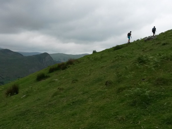
………… our last ascent.
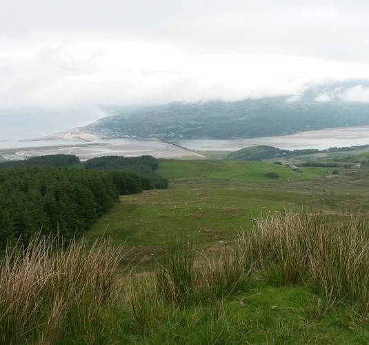
Sight of goal. Looking down on Barmouth’s estuary and bridge. This section of the walk had taken less time than anticipated – about three hours from Abergynolwyn – and we realised we would be far too early for our train (dep 1850) if we went down directly. So we decided on ………

………. a diversion
…….. via Cregennan lakes, and walked down the road from there to Arthog: a shame but there seemed to be no obvious alternative.
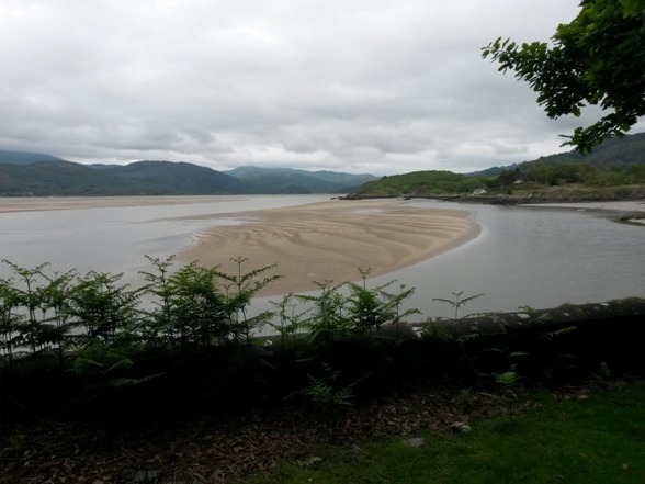
From beside the graveyard in Arthog, a footpath took us down to the estuary and a surprising isolated terrace of half a dozen town houses – Mawddach Crescent. Most of them are down at heel, but end-of-terrrace Heddwch is a neat and tidy exception, and available for holiday lets. This (above) is its view. The Victorians thought the Mawddach estuary more beautiful than the Dovey’s, and they had a point.

Nearly there

Barmouth bridge, 5.45pm. I spent most of the walk about this far behind my companions, which means I kept up, right? We arrived with about an hour to spare, and tramped its greasy streets for at least another mile in search of a decent pub, eventually returning to the first one we passed – The Last Inn (‘for the discerning’) where we were too tired to protest at the high price of beer. Time was, when any opportunity for an alcoholic drink on a Sunday in Merioneth would have been seized with grateful amazement. The ten to seven was on time, and brought us to Machynlleth at eleven to eight.